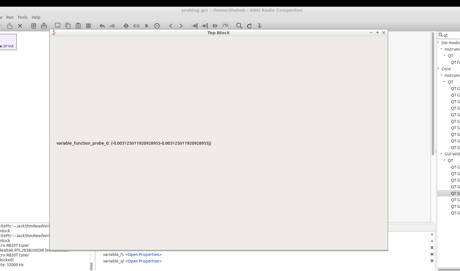
Ok, the probe blocks are not really what you should be using here. In fact, we (I, as architect) should have deprecated them a long time ago – they are really more of a debugging crutch than a signal processing tool.
You could have used the QT GUI Number Sink instead.
Then: yes, your received signal is a complex value – it's complex baseband. (An intro to that. If you're much more math-affine, this book is theory-heavy, good and free. If you're less interested in the theory, and familiar with math at a third-semester engineering level, Software Defined Radio for Engineers is good, and I very strongly suggest it over a lot of the tech-affine SDR literature that's floating around in the amateur radio space.)
The power of that signal is proportional to the squared absolute value. In GNU Radio, there's a block called "Complex to Mag^2", and that is exactly that operation.
You can convert the result to power by using the logarithm.
Now, downer:
Proportional means really only that: For any given frequency, gain, sample rate setting of your RTL dongle, there's a fixed factor between power at your antenna and magnitude square of the complex numbers. (Assuming temperature and other environmental factors affecting the analog signal chain don't change.)
To know actual physical units, you'll have to first calibrate your receiver with a source of known power. You don't have one, so you can't.
For your application, however, you don't need that at all – you just need to know relative distances; i.e. it's enough to know that you're e.g. half as far from the transmitter at point B as you were at point A. Add point C and D, and you can calculate a position.
That's possible without calibration: In free-space propagation, power drops with the square of distance, so if your average magnitude square at point A was $x$, it would be $x\cdot\sqrt{2}$ at point B.
Next downer:
499 MHz typically doesn't see a free-space propagation channel; it's already slightly attenuated through foliage, it reflects well off buildings and even better off cars and other metal surfaces, and so you don't really get a reliable square-law when it comes to power drop with distance. So, unless you really have a high-elevated receiver antenna and thus can guarantee a dominant line of sight to the transmitter, this will get pretty inaccurate, and you'll have to use a lot of different measurements and some algorithmic smarts to figure out the true transmitter location based on that.
There's whole industries that sell nothing but solutions for that problem – for way easier things, like estimating where in a mountain range a kW TV transmitter is. So, on level field, this is quite doable, on more complex terrain, you're moving into heavy inverse problem math, and would want a propagation map of the terrain as input :)
